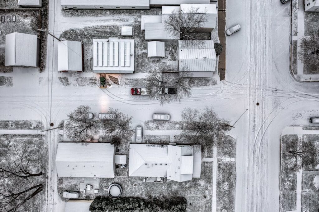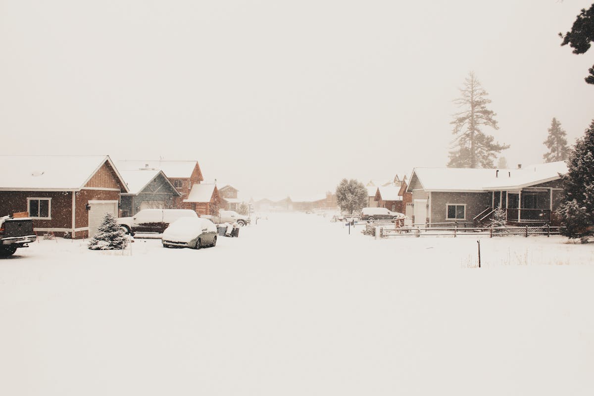
This winter splits the country clean down the middle. If you’re in the northern half, the season looks loaded. If you’re in the southern half, you might barely notice winter happened. At Ware Landscaping, we pay attention to patterns that shape snow loads, storm timing, and ice risks. This setup is the kind of thing that determines how many crews we dispatch, how often they roll, and how aggressive your winter prep needs to be.
Baselines: What “Normal” Snowfall Really Means
Most people think they know their winter pattern. But long-term averages expose the real picture. Thirty years of data between 1991 and 2020 tell us what typical actually looks like. The warm zones in the far south—the Houstons, Jacksonvilles, and Phoenixes—stick to a no-snow lifestyle. Move north a bit and you hit places like Charlotte, Nashville, and Oklahoma City. They get a light dusting every so often, nothing that changes daily routines.
Push into the Midwest and Northeast and snow becomes part of life. Cities like Cincinnati, Louisville, Chicago, and Detroit consistently sit in the 5–50 inch range. Go higher into the Rockies, Great Lakes, or northern plains and you reach regions that treat snowfall like an identity. Buffalo, Denver, Salt Lake City, and the snow belts around the Great Lakes often see 50–100+ inches in a normal season.
Those numbers matter because 2025–2026 doesn’t line up with the old map. The patterns driving this winter don’t respect average lines. Northern regions are set up for a large jump. Southern regions are positioned for a quiet season. The baseline exists so you can see how far the needle moves.
What’s Driving the Big North–South Split
The atmosphere isn’t doing anything random this year. Three major climate signals team up and push storms onto a northern track, leaving the southern tier mild and less active. It’s a simple idea: cold air fuels snow. Warm air kills it. These drivers decide where the cold stacks up.
The Subtle La Niña
A weak La Niña hangs in the Pacific—so weak it’s almost invisible. But even a quiet La Niña tilts the jet stream slightly north. That tilt changes everything. Storms travel across the northern half of the country instead of sliding into the South. The Upper Midwest and Great Lakes sit right under the path. Alberta clippers drop in like clockwork, delivering small but steady shots of snow that pile up over time.
The Negative PDO Reinforcement
The Pacific Decadal Oscillation is a long-term cycle that shapes the entire North Pacific. Right now it sits deep in a negative phase. That phase mirrors La Niña and amplifies its effect. Cold locks into the northern states while the southern tier stays warmer. With both patterns pushing in the same direction, the northern storm track becomes the default path.
Polar Vortex Instability
The polar vortex sits high above the North Pole. When it weakens or wobbles, arctic air escapes south. The setup this winter increases the odds of that happening. Past seasons with similar signals show a 60–75% chance that the vortex shakes loose. When it does, the outcome depends on whether moisture meets the cold. Sometimes it means a major blizzard. Sometimes it means bitter cold with no snow. It’s the wildcard that delivers the unforgettable events.
Put these three signals together and you get a consistent picture: northern states stay locked in storm mode. Southern states dodge most of the action.
What History Says About This Winter
We looked at seven similar winters dating back to 1989. Each one had the same ingredients: a weak La Niña, a negative PDO, and a warm Atlantic. The results weren’t subtle. Northern states came in 15–30% above normal snowfall. Southern states dropped to half of their usual totals. The Great Lakes outperformed in six out of seven of those years.
These aren’t guesses—they’re patterns. Winters like 2013–2014 produced huge totals across Chicago, Detroit, and Boston. Winters like 1995–1996 delivered storms that carved themselves into memory. Even mild-looking winters like 1989–1990 still included notable arctic blasts. History doesn’t repeat, but it echoes. And the echo this year is loud.
Regional Breakdown: Who Gets the Snow, Who Doesn’t
This is where the divide becomes obvious. Your experience this winter depends almost entirely on where you sit on the map.
Northern Tier: The Big Winners
Everything north of Interstate 80 stays in the snow zone. Think Montana, the Dakotas, Minnesota, Wisconsin, Michigan, and upstate New York. These regions lean 20–40% above average. Montana could jump even higher. The Great Lakes tap into warmer lake water, which supercharges lake-effect snow. Buffalo might cross 100 inches. Michigan’s Upper Peninsula could push 250–350 inches.
Chicago looks primed for 50–60 inches. Minneapolis sits in the 65–75 inch zone. The clippers keep coming, and each one adds a few inches. By January, the pattern settles in and becomes relentless.
Out west, the Rockies and Cascades ride the same energy. Mount Baker could hit 600 inches. Other mountains across Washington, Oregon, Idaho, and Wyoming see strong gains. Ski towns thrive.
Mid-Latitude Zone: The Uncertain Middle
The mid-latitude band sits between arctic influence and southern warmth. This is where outcomes get messy. Boston stays close to normal or slightly above. New York City becomes unpredictable—anywhere from 15 to 35 inches depending on how the cold lines up with moisture.
The Ohio Valley leans below normal for snow but sees a higher chance of ice. Freeze–thaw cycles matter more here than deep snowfall. For homeowners, this creates slippery walkways, driveway glazing, and stress on gutters and drainage.
Southern States: A Quiet Season
The southern third of the country barely participates in winter this year. Atlanta might see a stray inch. Charlotte and Nashville land somewhere around two to four inches. Houston, Miami, Phoenix—the usual snow-free zones—stay that way.
The bigger concern isn’t snow. It’s severe weather spikes, cold snaps, and random freezing events that show up without warning.
California’s Sierra Nevada loses out too, with snowfall likely coming in well below the heavy years. Tahoe might land 25–30% under normal totals unless a late February surge changes the scoreboard.
What This Means for Homeowners
Your winter playbook needs to match your region. If you’re in the northern belt, don’t wait. This season’s pattern rewards early preparation. More storms, more snow load, and more back-to-back events mean less room for delay. Ice buildup, clogged entryways, blocked driveways—all of it becomes more frequent.
If you’re in the mixed mid-latitude zone, expect uncertainty. Snow totals might look tame, but ice is the real threat. It sticks to surfaces, strains your gutters, locks car doors, and turns stairs into danger zones.
If you’re in the South, winter might feel like a long fall. But don’t ignore the stray cold snaps. They hit harder when you’re not used to them.
The Bottom Line
This winter draws a bold line across America. The northern half loads up on snow. The middle wrestles with messy freeze patterns. The southern tier barely feels the season. The climate signals driving this are strong and consistent. The past supports the forecast.
If you’re in a heavy-snow region, prepare now. Make sure you have a snow-removal plan that scales with the season. If you’re in an ice-prone zone, focus on prevention. And if you’re in the South, stay alert for the odd cold event.
It’s not a quiet winter. It’s a divided one—and where you live decides how your story unfolds.